Climate for Station: Matsue, Shimane, Japan
Loading live weather...
Climate Analysis & Overview
Matsue's climate reveals a nuanced story of warming lows and cooling highs over the past decade, set against a backdrop of gradual long-term warming. The precipitation pattern has become more evenly distributed, aligning with regional efforts to adapt to climate variability.
Matsue's Climate Classification and Geography
Matsue, located at 35.45°N, 133.067°E, falls under the Köppen climate classification of Cfa, indicating a humid subtropical climate. This classification is characterised by hot, humid summers and mild winters. The city's proximity to the Sea of Japan and its location on the Shimane Peninsula influence its weather patterns, often leading to heavy precipitation and moderate temperature variations. The local geography, including nearby mountains, can enhance precipitation through orographic lift, where moist air is forced to rise over the terrain, cooling and condensing to form rain.
Temperature Trends: A Tale of Divergence
Over the past decade, Matsue has experienced a cooling trend in high temperatures with a decrease of 0.51°C (0.92°F). In contrast, low temperatures have risen by 1.44°C (2.59°F) during the same period. This divergence suggests a narrowing of the diurnal temperature range, which could impact local ecosystems and energy consumption patterns. Long-term trends show a more consistent warming, with highs increasing by 0.12°C (0.22°F) and lows by 0.26°C (0.47°F). This gradual rise aligns with broader global warming trends, albeit at a modest pace.
Precipitation Patterns: A Shift Towards Evenness
The Precipitation Concentration Index (PCI) for Matsue has decreased from a baseline of 11.45 to 10.46, indicating a more even distribution of rainfall throughout the year. This shift suggests less extreme precipitation events, which can reduce the risk of flooding and soil erosion, benefiting agriculture and infrastructure. The PCI is a measure of how rainfall is distributed over time, with lower values indicating more even distribution. Matsue's current PCI reflects a trend towards less concentrated rainfall, which is a positive development in the context of Japan's regional climate goals to mitigate the impacts of extreme weather.
Record Temperatures: Extremes in Context
Matsue's temperature extremes have been historically recorded at a maximum of 38.5°C (101.3°F) and a minimum of -8.7°C (16.3°F). These records highlight the potential for significant temperature variability in the region. Such extremes are critical for planning in sectors like agriculture, where temperature-sensitive crops may be affected, and in urban planning, where infrastructure must withstand both heatwaves and cold snaps.
Regional Climate Goals and Adaptation
Japan has set ambitious climate goals, focusing on reducing greenhouse gas emissions and enhancing climate resilience. Matsue's climate data, with its warming lows and more evenly distributed precipitation, provides a microcosm of these national objectives. Recent weather events, such as typhoons and heatwaves, underscore the importance of continued monitoring and adaptation strategies to ensure the region's sustainability in the face of climate change.
Station Statistics
10-Year Trend
High: -0.41 °C/decade
Low: +1.58 °C/decade
Rain: -0.06 mm/decade
25-Year Trend
High: -0.03 °C/decade
Low: +0.59 °C/decade
Rain: -0.16 mm/decade
50-Year Trend
High: +0.19 °C/decade
Low: +0.48 °C/decade
Rain: -0.02 mm/decade
All-Time Trend
High: +0.12 °C/decade
Low: +0.27 °C/decade
Rain: -0.09 mm/decade
Percentage Above-Average Days
Last 12 Months: 50.4%
This Year: 35.8%
Precipitation Concentration Index (PCI) ℹ️
Last 12 Months: 9.2
Historical Average: 10.8
Percentile Rank of Last 12 Months ℹ️
High: 92nd percentile
Low: 99th percentile
Rain: 39th percentile
Change in Variance ℹ️
High: +1.4%
Low: +3.4%
Intraday: -13.5%
Data Coverage
95.7%
First Year of Data
1948
Station Location
Historical Weather Records
| Max High | Avg High | Min High | Max Avg | Avg Avg | Min Avg | Max Low | Avg Low | Min Low | Max Precipitation | Avg Precipitation | Max Snow | Avg Snow | |
|---|---|---|---|---|---|---|---|---|---|---|---|---|---|
| Record | 38.5 °C | — | -3.1 °C | 32.8 °C | — | -5.5 °C | 30.1 °C | — | -8.7 °C | 263.8 mm | — | — | — |
| January | 20.6 °C | 7.7 °C | -3.1 °C | 15.1 °C | 4.3 °C | -3.9 °C | 10.8 °C | 1.2 °C | -6.9 °C | 64.0 mm | 5.0 mm | — | — |
| February | 24.7 °C | 8.6 °C | -2.1 °C | 19.1 °C | 4.7 °C | -5.5 °C | 13.6 °C | 1.2 °C | -8.7 °C | 72.0 mm | 4.7 mm | — | — |
| March | 27.2 °C | 12.3 °C | -0.3 °C | 19.5 °C | 7.8 °C | -3.0 °C | 14.3 °C | 3.3 °C | -4.7 °C | 59.0 mm | 4.3 mm | — | — |
| April | 30.7 °C | 18.1 °C | 5.1 °C | 24.4 °C | 13.1 °C | 2.4 °C | 18.9 °C | 8.1 °C | -1.9 °C | 90.9 mm | 4.1 mm | — | — |
| May | 32.4 °C | 22.7 °C | 12.2 °C | 26.2 °C | 17.8 °C | 8.3 °C | 21.2 °C | 13.0 °C | 2.4 °C | 118.1 mm | 4.2 mm | — | — |
| June | 35.1 °C | 25.6 °C | 15.9 °C | 30.1 °C | 21.5 °C | 13.6 °C | 28.2 °C | 17.8 °C | 9.6 °C | 156.0 mm | 6.2 mm | — | — |
| July | 37.1 °C | 29.5 °C | 20.1 °C | 31.9 °C | 25.7 °C | 18.1 °C | 28.3 °C | 22.5 °C | 12.9 °C | 263.8 mm | 8.3 mm | — | — |
| August | 38.5 °C | 31.2 °C | 21.8 °C | 32.8 °C | 26.9 °C | 19.9 °C | 30.1 °C | 23.5 °C | 15.3 °C | 156.0 mm | 4.7 mm | — | — |
| September | 36.1 °C | 26.7 °C | 16.6 °C | 31.7 °C | 22.7 °C | 13.4 °C | 28.0 °C | 19.3 °C | 7.9 °C | 166.9 mm | 6.9 mm | — | — |
| October | 32.0 °C | 21.4 °C | 10.5 °C | 25.9 °C | 16.9 °C | 7.1 °C | 23.0 °C | 12.9 °C | 3.5 °C | 132.7 mm | 4.2 mm | — | — |
| November | 27.0 °C | 16.1 °C | 4.3 °C | 22.2 °C | 11.7 °C | 2.8 °C | 17.9 °C | 7.7 °C | -0.6 °C | 100.8 mm | 4.4 mm | — | — |
| December | 23.2 °C | 10.7 °C | -0.7 °C | 17.1 °C | 6.9 °C | -2.8 °C | 13.0 °C | 3.4 °C | -7.5 °C | 75.4 mm | 4.7 mm | — | — |
Data Visualisations
Remove WatermarksCurrent Year Climate Trends vs Historical


Max Temperature this Year | 1 of 6
Climate 12-Month Moving Averages


Max Temperature 12-Month MA | 1 of 6
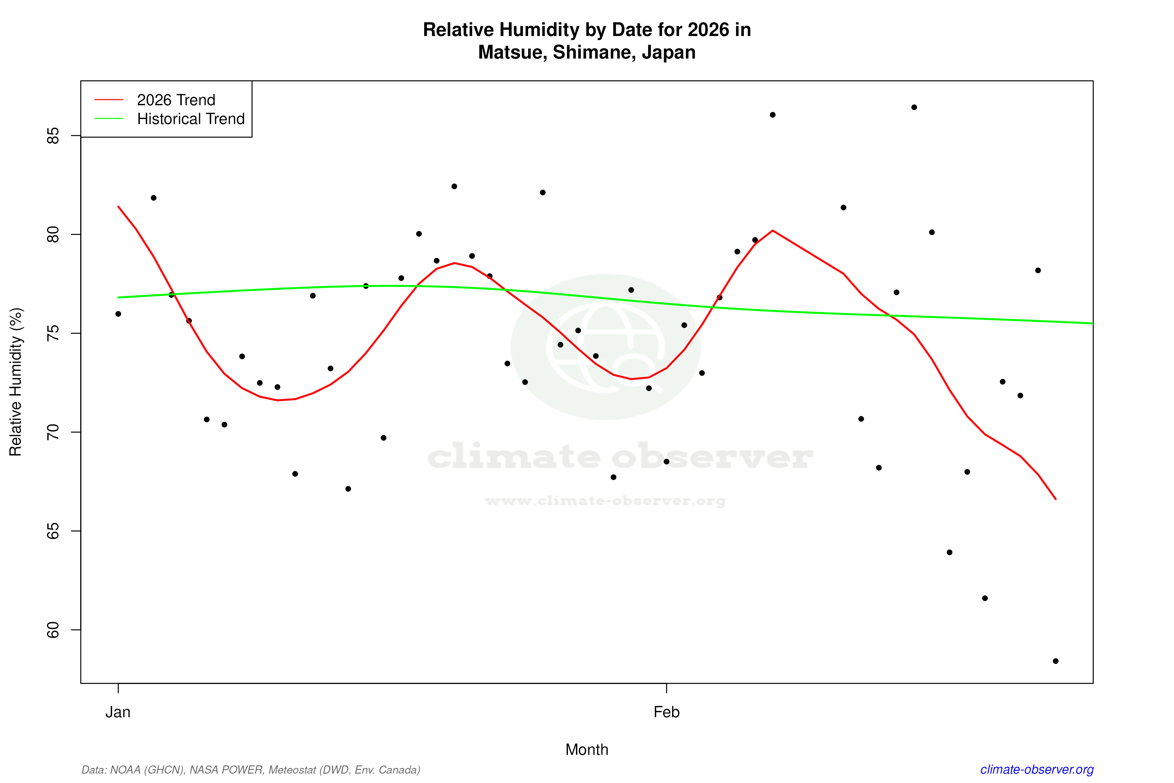
Daily Data Points and Averages Throughout the Year


Average Max Temperature Throughout Year | 1 of 5
