Climate for Station: Parakou, Borgou, Benin
Loading live weather...
Climate Analysis & Overview
Parakou, located in the heart of Benin, is experiencing a nuanced climate evolution with a warming trend in high temperatures and a more evenly distributed precipitation pattern. While the last decade shows a slight cooling in low temperatures, the all-time data indicates an overall warming, reflecting broader regional climate shifts.
Geographical Context and Climate Classification
Parakou is situated at coordinates 9.35°N, 2.617°E, nestled in the Borgou Department of Benin. The region falls under the Köppen climate classification of Aw, signifying a tropical savanna climate with distinct wet and dry seasons. The geographical positioning, away from coastal influences and amidst the savanna, plays a crucial role in its climatic patterns. The absence of significant geographical barriers like mountains allows for a consistent climate profile, heavily influenced by the seasonal movements of the Intertropical Convergence Zone (ITCZ).
Temperature Trends: A Mixed Bag
Over the past decade, Parakou has experienced a warming trend in high temperatures, with an increase of 0.70°C (1.26°F). This contrasts with a slight cooling in low temperatures, which have decreased by 0.08°C (0.14°F). However, when examining the all-time trends, both high and low temperatures exhibit a warming pattern. Highs have risen by 0.18°C (0.32°F), while lows have increased by 0.29°C (0.52°F). This indicates a broader warming trend over the longer term, aligning with regional climate projections and goals aimed at understanding and mitigating climate change impacts.
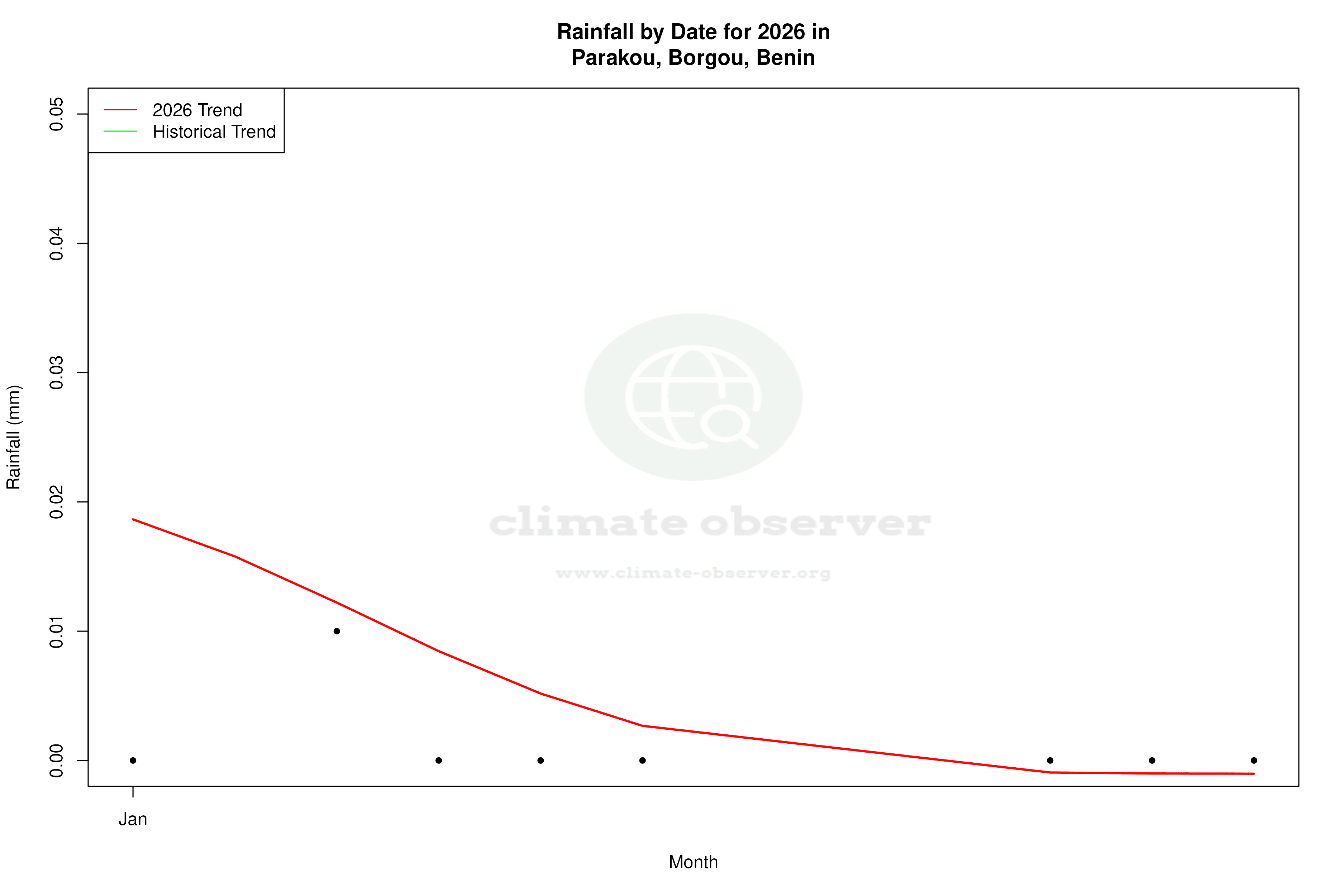
Precipitation Patterns: A Shift Towards Evenness
The Precipitation Concentration Index (PCI) for Parakou has shown a slight decrease from a baseline of 16.46 to a current value of 15.23. This suggests that precipitation events are becoming more evenly distributed throughout the year, reducing the concentration of rainfall in fewer, intense events. Such a shift can have significant implications for agriculture and water resource management, providing a more stable and predictable water supply.
Temperature Extremes: Historical Records
Parakou's climatic history is marked by notable temperature extremes, with a recorded maximum of 42.24°C (108.03°F) and a minimum of 10.60°C (51.08°F). These records highlight the region's capacity for significant temperature variability, a characteristic feature of the tropical savanna climate. Understanding these extremes is crucial for planning and resilience-building in the face of climate variability.
Regional Implications and Climate Goals
The observed trends in Parakou's climate data are reflective of broader regional patterns in West Africa, where there is a concerted effort to adapt to and mitigate the impacts of climate change. Benin's national climate goals emphasize resilience and sustainable development, aiming to address the challenges posed by these evolving climatic conditions. The data from Parakou provides valuable insights into the effectiveness of these strategies and the ongoing need for adaptive measures.
Station Statistics
10-Year Trend
High: +0.63 °C/decade
Low: -0.10 °C/decade
Rain: -0.04 mm/decade
25-Year Trend
High: +0.06 °C/decade
Low: +0.13 °C/decade
Rain: +0.24 mm/decade
50-Year Trend
High: +0.18 °C/decade
Low: +0.29 °C/decade
Rain: +0.06 mm/decade
All-Time Trend
High: +0.18 °C/decade
Low: +0.29 °C/decade
Rain: +0.06 mm/decade
Percentage Above-Average Days
Last 12 Months: 65.2%
This Year: 76.5%
Precipitation Concentration Index (PCI) ℹ️
Last 12 Months: 15.0
Historical Average: 16.0
Percentile Rank of Last 12 Months ℹ️
High: 86th percentile
Low: 62nd percentile
Rain: 32nd percentile
Change in Variance ℹ️
High: +0.4%
Low: -32.8%
Intraday: -11.8%
Data Coverage
96.4%
First Year of Data
1973
Station Location
Historical Weather Records
| Max High | Avg High | Min High | Max Avg | Avg Avg | Min Avg | Max Low | Avg Low | Min Low | Max Precipitation | Avg Precipitation | Max Snow | Avg Snow | |
|---|---|---|---|---|---|---|---|---|---|---|---|---|---|
| Record | 42.2 °C | — | 22.2 °C | 35.2 °C | — | 19.1 °C | 28.0 °C | — | 10.6 °C | 340.1 mm | — | — | — |
| January | 40.0 °C | 34.7 °C | 26.0 °C | 33.8 °C | 26.8 °C | 19.1 °C | 25.2 °C | 19.7 °C | 10.6 °C | 14.7 mm | 0.1 mm | — | — |
| February | 40.7 °C | 36.6 °C | 29.0 °C | 34.7 °C | 29.0 °C | 22.5 °C | 27.0 °C | 22.1 °C | 13.0 °C | 70.1 mm | 0.4 mm | — | — |
| March | 42.2 °C | 37.1 °C | 28.2 °C | 34.3 °C | 29.9 °C | 22.3 °C | 28.0 °C | 23.7 °C | 13.3 °C | 75.9 mm | 1.4 mm | — | — |
| April | 41.6 °C | 35.7 °C | 27.0 °C | 35.2 °C | 29.1 °C | 23.6 °C | 26.8 °C | 23.8 °C | 19.0 °C | 110.0 mm | 3.5 mm | — | — |
| May | 41.4 °C | 33.4 °C | 24.0 °C | 31.9 °C | 27.7 °C | 21.8 °C | 26.5 °C | 23.0 °C | 18.8 °C | 93.0 mm | 4.7 mm | — | — |
| June | 39.5 °C | 31.2 °C | 23.6 °C | 30.6 °C | 26.2 °C | 21.8 °C | 25.0 °C | 22.1 °C | 17.0 °C | 161.0 mm | 6.2 mm | — | — |
| July | 37.0 °C | 29.5 °C | 23.0 °C | 28.8 °C | 24.9 °C | 21.3 °C | 24.4 °C | 21.7 °C | 17.1 °C | 340.1 mm | 7.3 mm | — | — |
| August | 37.6 °C | 28.8 °C | 22.2 °C | 29.2 °C | 24.5 °C | 20.7 °C | 23.6 °C | 21.4 °C | 18.0 °C | 176.0 mm | 8.1 mm | — | — |
| September | 37.4 °C | 29.7 °C | 23.0 °C | 29.0 °C | 24.9 °C | 20.2 °C | 23.9 °C | 21.3 °C | 18.0 °C | 90.9 mm | 7.7 mm | — | — |
| October | 37.4 °C | 31.6 °C | 24.0 °C | 30.3 °C | 25.9 °C | 21.3 °C | 24.8 °C | 21.5 °C | 17.0 °C | 97.0 mm | 4.1 mm | — | — |
| November | 39.4 °C | 34.3 °C | 28.2 °C | 31.4 °C | 27.0 °C | 21.9 °C | 24.7 °C | 20.9 °C | 13.3 °C | 23.9 mm | 0.2 mm | — | — |
| December | 39.4 °C | 34.4 °C | 27.9 °C | 31.8 °C | 26.5 °C | 19.8 °C | 24.1 °C | 19.5 °C | 11.8 °C | 12.1 mm | 0.1 mm | — | — |
Data Visualisations
Remove WatermarksCurrent Year Climate Trends vs Historical


Max Temperature this Year | 1 of 6
Climate 12-Month Moving Averages


Max Temperature 12-Month MA | 1 of 6
Daily Data Points and Averages Throughout the Year


Average Max Temperature Throughout Year | 1 of 5
