Climate for Station: Legaspi, Albay, Philippines
Loading live weather...
Climate Analysis & Overview
Legazpi City, nestled in the Bicol Region of the Philippines, presents a complex climate narrative. While long-term data shows a slight warming trend, recent trends indicate a cooling pattern, suggesting nuanced climatic shifts. Precipitation has become more evenly distributed, reflecting broader regional climate goals.
Tropical Climate Dynamics
Legazpi City, located at 13.133°N, 123.733°E, falls under the tropical rainforest climate classification (Köppen: Af), characterised by high temperatures and significant rainfall throughout the year. The city's proximity to the Pacific Ocean and the presence of Mount Mayon, an active stratovolcano, significantly influence its weather patterns. These geographical features contribute to its high humidity and frequent rainfall, which are typical of the Bicol Region.
Temperature Trends: A Tale of Two Timelines
Examining the temperature trends, Legazpi City exhibits a complex thermal profile. Over the past decade, there has been a cooling trend, with highs decreasing by 0.31°C (0.56°F) and lows by 0.72°C (1.30°F). However, when considering the all-time trends, there is a slight warming, with highs increasing by 0.05°C (0.09°F) and lows by 0.25°C (0.45°F). This divergence highlights the importance of considering both short-term and long-term data to understand the city's climate trajectory fully.
Precipitation Patterns: Towards Even Distribution
The Precipitation Concentration Index (PCI) provides insight into rainfall distribution. Legazpi City's PCI has decreased from a baseline of 12.1 to a current value of 8.9, indicating a more even distribution of rainfall events. This shift suggests that precipitation is now spread more uniformly throughout the year, reducing the risk of intense, concentrated rain events that can lead to flooding. Such changes align with the Philippines' broader climate adaptation strategies, which aim to mitigate the impacts of extreme weather.
Temperature Extremes: Records in Perspective
The city's temperature records reveal the potential for extreme weather conditions. The highest recorded temperature is 37.7°C (99.9°F), while the lowest is 16.8°C (62.2°F). These extremes underscore the variability inherent in Legazpi City's tropical climate, influenced by both local and regional atmospheric dynamics.
Regional Climate Context and Implications
The climate data from Legazpi City should be viewed within the broader context of the Philippines' climate objectives. The nation is committed to reducing greenhouse gas emissions and enhancing climate resilience, particularly in vulnerable regions like Bicol. Recent weather events, such as typhoons, have underscored the urgency of these goals. Legazpi's evolving climate patterns, including more evenly distributed rainfall and temperature fluctuations, reflect both the challenges and progress in achieving these objectives.
Station Statistics
10-Year Trend
High: -0.68 °C/decade
Low: -0.89 °C/decade
Rain: +1.75 mm/decade
25-Year Trend
High: +0.27 °C/decade
Low: +0.30 °C/decade
Rain: +0.64 mm/decade
50-Year Trend
High: +0.10 °C/decade
Low: +0.19 °C/decade
Rain: +0.29 mm/decade
All-Time Trend
High: +0.04 °C/decade
Low: +0.24 °C/decade
Rain: +0.13 mm/decade
Percentage Above-Average Days
Last 12 Months: 28.5%
This Year: 13.4%
Precipitation Concentration Index (PCI) ℹ️
Last 12 Months: 10.3
Historical Average: 11.8
Percentile Rank of Last 12 Months ℹ️
High: 7th percentile
Low: 57th percentile
Rain: 83rd percentile
Change in Variance ℹ️
High: +16.3%
Low: -21.1%
Intraday: -11.8%
Data Coverage
89.8%
First Year of Data
1945
Station Location
Historical Weather Records
| Max High | Avg High | Min High | Max Avg | Avg Avg | Min Avg | Max Low | Avg Low | Min Low | Max Precipitation | Avg Precipitation | Max Snow | Avg Snow | |
|---|---|---|---|---|---|---|---|---|---|---|---|---|---|
| Record | 37.7 °C | — | 23.1 °C | 32.8 °C | — | 20.3 °C | 28.3 °C | — | 16.8 °C | 485.0 mm | — | — | — |
| January | 35.4 °C | 28.7 °C | 23.3 °C | 29.2 °C | 25.8 °C | 20.3 °C | 26.0 °C | 22.8 °C | 17.0 °C | 254.0 mm | 11.2 mm | — | — |
| February | 33.1 °C | 29.2 °C | 23.1 °C | 29.4 °C | 26.1 °C | 21.4 °C | 26.0 °C | 22.7 °C | 16.8 °C | 176.0 mm | 8.0 mm | — | — |
| March | 35.0 °C | 30.1 °C | 24.3 °C | 29.6 °C | 26.8 °C | 22.4 °C | 26.7 °C | 23.2 °C | 17.8 °C | 209.0 mm | 6.3 mm | — | — |
| April | 36.5 °C | 31.4 °C | 25.9 °C | 31.0 °C | 28.0 °C | 24.2 °C | 27.8 °C | 24.1 °C | 17.7 °C | 166.0 mm | 5.4 mm | — | — |
| May | 37.7 °C | 32.4 °C | 25.3 °C | 32.8 °C | 28.8 °C | 23.3 °C | 28.3 °C | 24.9 °C | 18.4 °C | 203.0 mm | 6.1 mm | — | — |
| June | 37.6 °C | 32.3 °C | 25.6 °C | 31.9 °C | 28.6 °C | 24.1 °C | 28.0 °C | 24.7 °C | 18.9 °C | 294.0 mm | 7.6 mm | — | — |
| July | 35.4 °C | 31.6 °C | 24.6 °C | 31.8 °C | 28.0 °C | 23.7 °C | 27.9 °C | 24.3 °C | 18.9 °C | 187.0 mm | 8.4 mm | — | — |
| August | 36.0 °C | 31.5 °C | 25.5 °C | 32.1 °C | 27.9 °C | 22.1 °C | 28.0 °C | 24.4 °C | 19.4 °C | 178.0 mm | 7.9 mm | — | — |
| September | 35.8 °C | 31.4 °C | 24.8 °C | 31.3 °C | 27.7 °C | 21.3 °C | 27.5 °C | 24.1 °C | 19.0 °C | 191.0 mm | 8.7 mm | — | — |
| October | 35.7 °C | 31.1 °C | 24.7 °C | 30.2 °C | 27.4 °C | 22.8 °C | 27.1 °C | 23.8 °C | 18.8 °C | 264.0 mm | 10.7 mm | — | — |
| November | 36.0 °C | 30.3 °C | 24.4 °C | 29.8 °C | 27.1 °C | 21.8 °C | 27.2 °C | 23.8 °C | 17.9 °C | 485.0 mm | 15.3 mm | — | — |
| December | 33.2 °C | 29.2 °C | 23.7 °C | 29.3 °C | 26.3 °C | 20.7 °C | 26.6 °C | 23.4 °C | 18.3 °C | 459.0 mm | 17.5 mm | — | — |
Data Visualisations
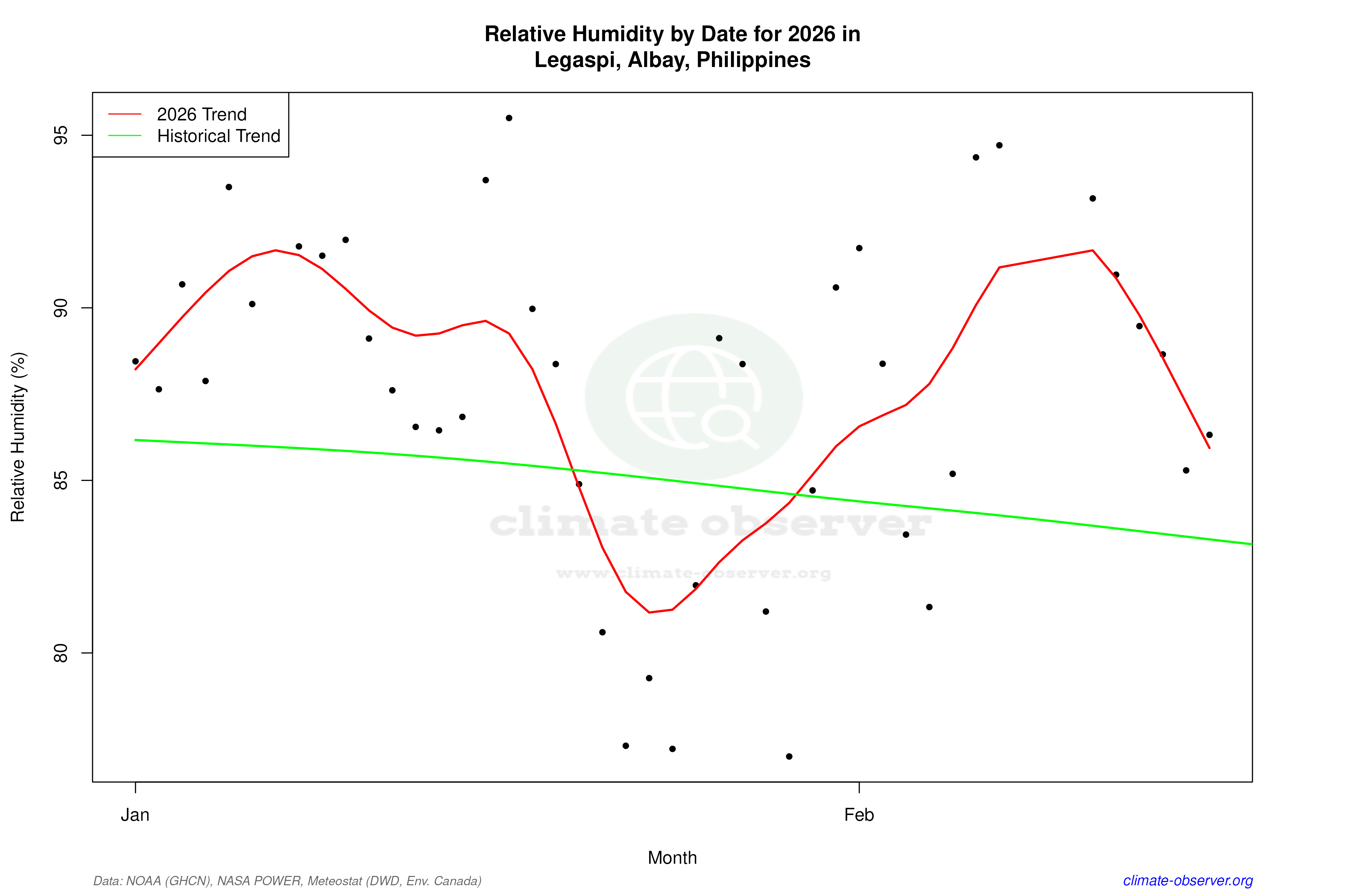
Remove WatermarksCurrent Year Climate Trends vs Historical


Max Temperature this Year | 1 of 6
Climate 12-Month Moving Averages


Max Temperature 12-Month MA | 1 of 6
Daily Data Points and Averages Throughout the Year


Average Max Temperature Throughout Year | 1 of 5
