Climate for Station: Eureka, South Dakota, United States
Loading live weather...
Climate Analysis & Overview
Eureka, South Dakota, is experiencing a complex climate narrative. While the long-term data indicates a slight cooling trend in high temperatures, recent years have shown a warming trend. Precipitation is becoming more evenly distributed, suggesting a shift in local weather patterns.
Climate Classification and Geographic Influence
Eureka is classified under the Köppen climate system as a humid continental climate, characterised by hot summers and cold winters. The region's flat terrain and distance from large water bodies result in significant temperature fluctuations. These geographical factors contribute to the area's vulnerability to both warm and cold extremes, as evidenced by record temperatures ranging from a maximum of 45.6°C (114.1°F) to a minimum of -42.8°C (-45.0°F).
Temperature Trends: A Tale of Two Timelines
Over the past decade, Eureka has seen a warming trend in high temperatures, with an increase of 0.81°C (1.46°F). Conversely, the long-term data reveals a slight cooling trend in high temperatures, with a decrease of 0.07°C (0.13°F). This discrepancy underscores the importance of considering both short-term and long-term data when assessing climate trends. Meanwhile, low temperatures have shown a consistent warming trend, with a long-term rise of 0.16°C (0.29°F), indicating milder winters over time.
Precipitation Patterns: A More Even Distribution
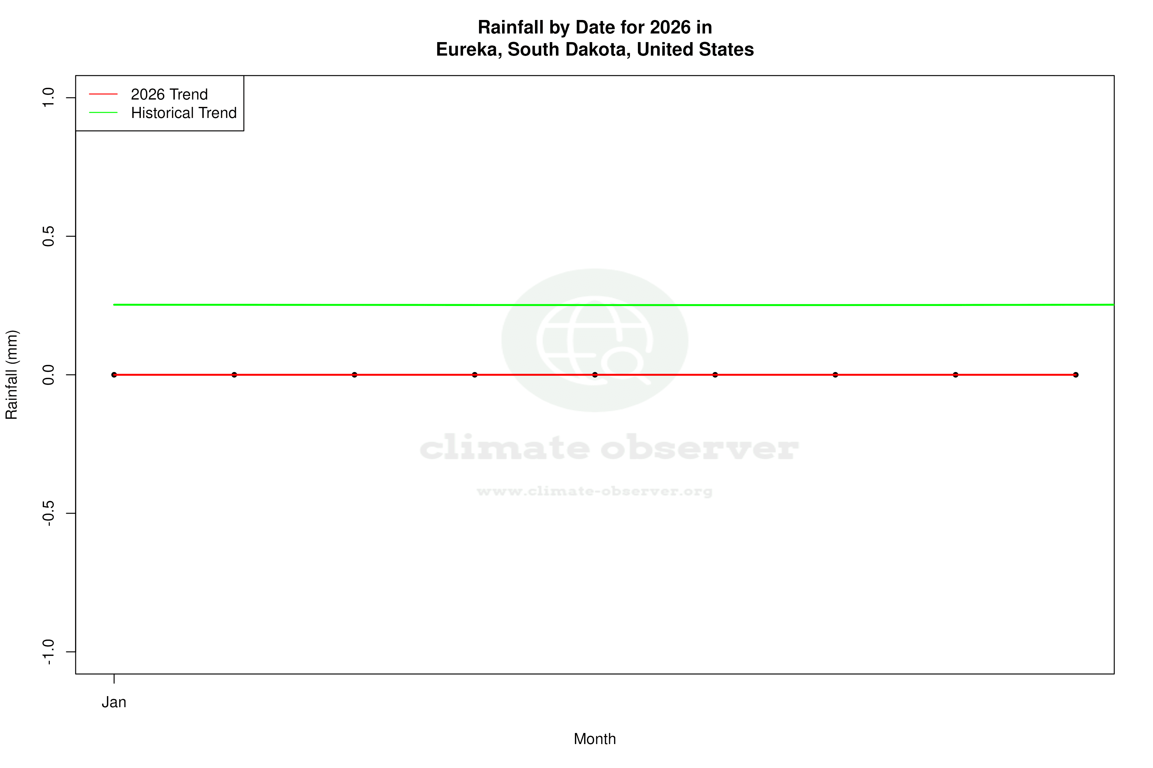
The Precipitation Concentration Index (PCI) for Eureka has decreased from a baseline of 16.9 to a current value of 13.6. This change suggests that precipitation is becoming more evenly distributed throughout the year, rather than being concentrated in fewer, more intense events. Such a shift could have implications for agriculture and water management in the region, as more consistent rainfall may benefit crop growth and reduce the risk of flooding.
Regional Climate Goals and Implications
Eureka's climate trends are set against the backdrop of the United States' broader climate goals, which include reducing greenhouse gas emissions and adapting to changing weather patterns. The observed warming in recent years aligns with national concerns about rising temperatures and their impact on agriculture, infrastructure, and natural ecosystems. As precipitation patterns become more even, local strategies may need to adapt to ensure water resources are managed effectively.
Recent Weather Events as Context
Recent weather events, such as heatwaves and cold snaps, provide context for Eureka's climate data. These events highlight the region's susceptibility to temperature extremes, reinforcing the need for adaptive measures in both infrastructure and community planning. The warming trend in recent years, coupled with more evenly distributed precipitation, may offer some resilience against such extremes, but ongoing monitoring and adaptation will be crucial.
Station Statistics
10-Year Trend
High: +1.91 °F/decade
Low: +0.50 °F/decade
Rain: +0.003 in/decade
25-Year Trend
High: -0.56 °F/decade
Low: -0.98 °F/decade
Rain: +0.001 in/decade
50-Year Trend
High: -0.03 °F/decade
Low: +0.34 °F/decade
Rain: +0.002 in/decade
All-Time Trend
High: -0.12 °F/decade
Low: +0.29 °F/decade
Rain: +0.001 in/decade
Percentage Above-Average Days
Last 12 Months: 54.5%
This Year: 40.8%
Precipitation Concentration Index (PCI) ℹ️
Last 12 Months: 13.0
Historical Average: 16.3
Percentile Rank of Last 12 Months ℹ️
High: 56th percentile
Low: 69th percentile
Rain: 80th percentile
Change in Variance ℹ️
High: -4.7%
Low: +1.8%
Intraday: -19.1%
Data Coverage
74.4%
First Year of Data
1877
Station Location
Historical Weather Records
| Max High | Avg High | Min High | Max Avg | Avg Avg | Min Avg | Max Low | Avg Low | Min Low | Max Precipitation | Avg Precipitation | Max Snow | Avg Snow | |
|---|---|---|---|---|---|---|---|---|---|---|---|---|---|
| Record | 114.08 °F | — | -23.98 °F | — | — | — | 82.04 °F | — | -45.04 °F | 6.73 in | — | 64.02 in | — |
| January | 57.92 °F | 20.70 °F | -23.98 °F | — | — | — | 33.08 °F | 0.40 °F | -43.96 °F | 1.16 in | 0.01 in | 64.02 in | 0.22 in |
| February | 66.92 °F | 25.79 °F | -23.08 °F | — | — | — | 42.08 °F | 4.94 °F | -43.96 °F | 1.89 in | 0.02 in | 14.02 in | 0.22 in |
| March | 84.92 °F | 39.00 °F | -5.08 °F | — | — | — | 51.98 °F | 17.32 °F | -29.02 °F | 1.85 in | 0.02 in | 15.39 in | 0.20 in |
| April | 96.08 °F | 56.03 °F | 15.98 °F | — | — | — | 60.08 °F | 30.67 °F | -7.96 °F | 2.44 in | 0.05 in | 17.99 in | 0.13 in |
| May | 107.06 °F | 68.65 °F | 28.94 °F | — | — | — | 73.04 °F | 42.42 °F | 12.02 °F | 3.96 in | 0.09 in | 10.39 in | 0.01 in |
| June | 107.06 °F | 77.66 °F | 46.04 °F | — | — | — | 82.04 °F | 52.69 °F | 28.94 °F | 6.73 in | 0.11 in | 0.00 in | 0.00 in |
| July | 114.08 °F | 84.95 °F | 55.94 °F | — | — | — | 80.06 °F | 57.97 °F | 32.00 °F | 3.47 in | 0.08 in | 0.00 in | 0.00 in |
| August | 109.04 °F | 83.56 °F | 55.04 °F | — | — | — | 80.06 °F | 55.62 °F | 28.94 °F | 3.02 in | 0.07 in | 0.00 in | 0.00 in |
| September | 107.06 °F | 73.43 °F | 35.06 °F | — | — | — | 71.96 °F | 45.57 °F | 15.08 °F | 2.16 in | 0.05 in | 2.60 in | 0.00 in |
| October | 93.92 °F | 59.23 °F | 12.92 °F | — | — | — | 68.00 °F | 33.30 °F | -5.98 °F | 2.92 in | 0.04 in | 9.02 in | 0.03 in |
| November | 78.08 °F | 40.17 °F | -9.04 °F | — | — | — | 53.06 °F | 18.95 °F | -23.08 °F | 1.49 in | 0.02 in | 10.00 in | 0.15 in |
| December | 64.04 °F | 25.89 °F | -23.08 °F | — | — | — | 42.98 °F | 6.54 °F | -45.04 °F | 0.99 in | 0.01 in | 9.49 in | 0.20 in |
Data Visualisations
Remove WatermarksCurrent Year Climate Trends vs Historical


Max Temperature this Year | 1 of 6
Climate 12-Month Moving Averages


Max Temperature 12-Month MA | 1 of 6
Daily Data Points and Averages Throughout the Year


Average Max Temperature Throughout Year | 1 of 5
